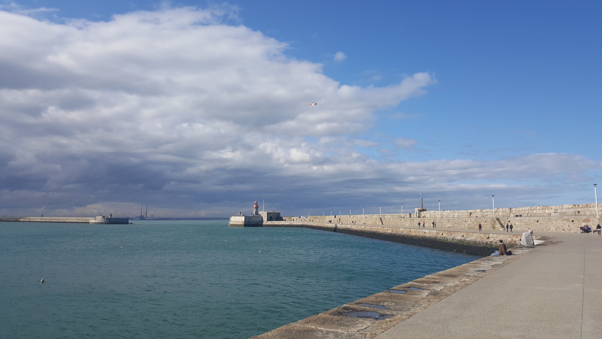
Stage one as always is the recce - but when the students returned it turned out that large portions of the upper east pier was closed off due to storm damage either from Ophelia or Emma. I don't know if these slabs had been moved by waves crashing in and up from under the pier or they are the replacements (they don't look damaged) or else they had to remove them to access other damage but still these are big pieces of rock...

This meant all of those stations had to be repositioned for the network measurements and the rest of the day was spent doing that, only allowing a short amount of time in the PM for measurements from stations at the ends of either pier. This also meant reduced visibility as the students were now trying to see across the harbour from lower down. Lots of radio contact required to ensure inter-visibility,
Level survey and topo to follow later in the week but I am off to Grangegorman to help with the first year field trip there, looking forward to seeing it.

No comments:
Post a Comment